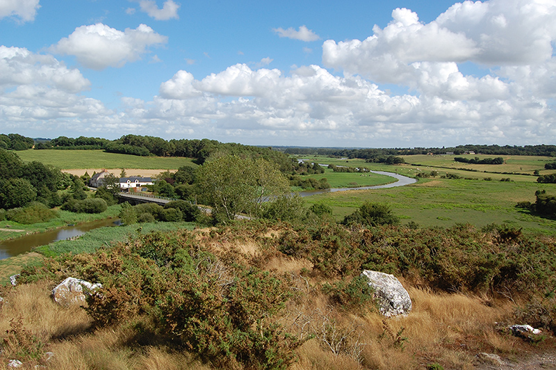
Seven valleys, each with its own special character
The Vilaine has a tourist route, definitely worth a detour, which follows the river between the rocky cliffs of Béganne and Corbinières, through the vast marshy meadows of Gannedel and Théhillac... A towpath runs beside the Vilaine upriver from Redon, and, of course, the Vilaine waterway runs from the Atlantic to Rennes and on to Saint-Malo !
The Oust is the longest river which is entirely in Brittany. It flows into the Vilaine at Redon. The lower Valley of the Oust with its spectacular Ile aux Pies is a classified natural site, the only one in inland Brittany. Towpaths, magnificent viewpoints, granite and shale outcrops, lock-keepers cottages, canoeing, rock-climbing and Défis de l’Oust (multi-activity outings)…
The Isac is also part of the Nantes-Brest Canal (Maison du Canal at Fégréac). Explore this river along the towpath from Port-St Clair to Plessé as far as Bellions Lock. The marshes are bathed in wonderful light at any time of year and winter flooding provides popular breeding grounds for pike.
The Don takes its name from the Celtic goddess Dana. The river has created a gorge at Guémené-Penfao. Walk or sail beneath huge trees and rocks in the realm of the fairy Carabosse…
The Arz is more discreet. It pops up at the Moulin de Guéveneux (mill) beneath the Butte des Moulins at St Jacut-les-Pins, and also on cycle paths, mountain bike trails and footpaths!
The Chère and its mill link the departements of Ille-et-Vilaine and Loire-Atlantique.
The Aff flows from Brocéliande, through Bruc, Sixt (-sur-Aff, of course) and La Gacilly before joining the Oust at Ile aux Pies.


